MetCenter, Austin
MetCenter covers 6.7 square miles of Austin. This page maps 8 parks and public places and 8 businesses inside its lines, most of them Auto.

Living In MetCenter
Inside its lines: 2 fire stations, 2 landmarks and historic sites, 1 park, 1 place of worship and 1 places to eat.
People
US Census Bureau American Community Survey 2020 to 2024, added up from the census tracts in MetCenter. Ranks count neighborhoods with 500 or more people.
Parks, Schools And Public Places In MetCenter
Fire Stations 2
- Air Fire Rescue Station Bergstrom3300 Emma Browning Avenue, Austin, Texas 78719
- Austin Fire Station 42 / ATCEMS 302434 Cardinal Loop
Landmarks And Historic Sites 2
- Del Valle Army Air Base (Bergstrom Air Force Base)
- Family Viewing Area
Parks 1
- Onion Creek Wildlife Sanctuary4435 East State Hwy 71, Austin, TX 78617
Places Of Worship 1
- Cottonwood Baptist Church3177 Eva Street, Del Valle, 78617
Post Offices 1
- United States Post Office2883 Bastrop Highway, Austin, TX 78617
Trails And Bike Paths 1
- Highway 71 Cycle Path
Businesses In MetCenter
Is yours missing or wrong? List or fix it free.
Auto 5
 Avis Car RentalCar rental agency
- Enterprise Rent-A-CarCar rental agency
- National Car RentalCar rental company
- Fox Rent A Car AustinCar rental agency
- Budget Car RentalCar rental agency
Travel and Transportation 1
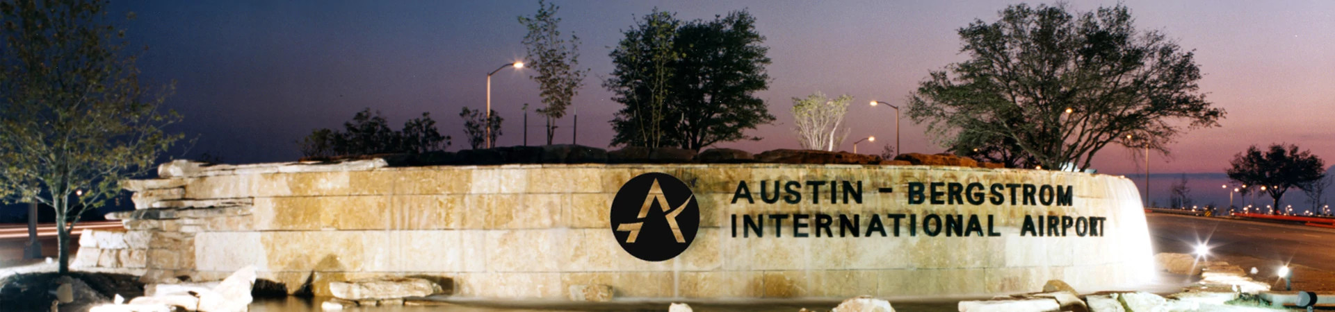 Austin-Bergstrom International AirportInternational airport
Food and Drink 1
- Salt Lick CellarsBarbecue restaurant
Lodging 1
Own A Business In Austin
List it free on your neighborhood page in about two minutes. Townstoop is built by Clickflame, building local business sites since 2004.
MetCenter Questions
What parks are in MetCenter
1 mapped, including Onion Creek Wildlife Sanctuary.
Sources, Census figures from the US Census Bureau American Community Survey five year estimates, parks, schools and public places from OpenStreetMap contributors (ODbL). How we build these pages.